

Clementina
Patagónica
Drone-based environmental monitoring with centralized processing.
We centralize drone surveys and derived products to build comparable environmental monitoring and generate useful information for science and conservation.
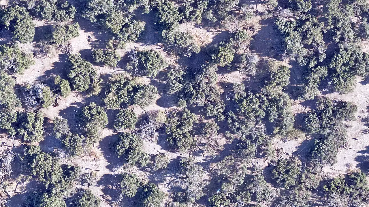
Isle of Birds · PN Islote Lobos, Río Negro · Nov 8 2025
Two doors
to enter
Browse the map or add your first survey.
Explore surveys available on the public map. If you have drone images stored on a disk or computer, register to centralize them and turn them into new products and environmental monitoring.

A growing network
Drone surveys already integrated in the platform.
Processed products available for open consultation.
Total surface area documented by the network, in square kilometers.
From fieldwork to the public map
Three steps to transform drone images into accessible environmental products and monitoring.

You upload your images
Upload RAW or JPG images directly after a field trip. The platform organizes extensive surveys and heavy files without manual splitting.

We process in Clementina
We generate georeferenced products from your images and you follow processing in real time. All results stay linked to the original survey.

We publish the map
Define the access level for the survey (public, collaborative or restricted). Derived products remain available with clear licensing and traceability, while the original images are safeguarded without being published.
Open data, with responsibility
We apply two complementary frameworks: FAIR, so data is findable and reusable, and CARE, so its use respects those who generated it and the territories it documents. Every published survey includes a suggested citation, a visible CC-BY 4.0 license and open formats (GeoTIFF, JPEG, PDF), making it reusable and traceable. Original images are never published: the author defines which products are visible and under what conditions, while source material remains under institutional custody. Three access levels coexist —Public, Collaborative and Restricted— and the author picks one based on site sensitivity and project stage.
Allows exploring and downloading derived products from the open map. Anyone can access; authorship stays explicit. When: non-sensitive monitoring, institutional coverage, outreach.
Enables contact between users and authors to generate collaborations and share access to specific surveys. When: work in progress, theses, pre-publication campaigns.
Keeps the existence and perimeter of the survey visible, but safeguards its content for sensitive sites or information under study. When: archaeological sites, endangered species, sensitive data.
Survey map
Click on any polygon to see the survey detail. Search by site or author, or filter by year, drone and access level.
Digital elevation models
Beyond the orthomosaic, each survey can generate a georeferenced Digital Elevation Model (DEM) and JPG previews. DEMs provide terrain height information and are the basis for erosion, hydrology and morphological change analyses.

Islote de los Pájaros, 540 megapixels
A survey from November 2025. Same flow as any other campaign.
Products from this survey
| Product | Size | Format |
|---|---|---|
| Full orthomosaic | 523 MB | GeoTIFF |
| DEM | 180 MB | GeoTIFF |
| Browseable JPG view | 12 MB | JPG |
Public survey · CC-BY 4.0 license

Four cases to explore
A selection of maps, monitoring and derived products available on the platform.
 Peninsula Valdes - Punta Cantor
Peninsula Valdes - Punta Cantor 2026 campaña 2
2026 · Martin Brogger
View survey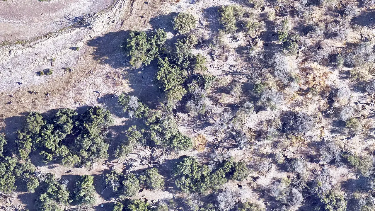 San Antonio Oeste
San Antonio Oeste 2026
2026 · Bomberos VOL Madryn
View survey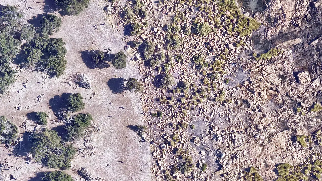 Golfo Nuevo - Madryn
Golfo Nuevo - Madryn 2026
2026 · Bomberos VOL Madryn
View survey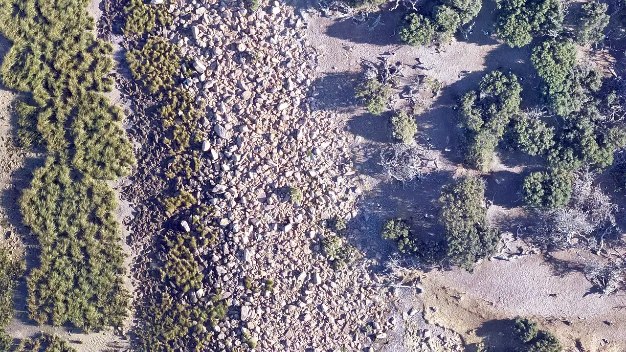 El Calafate - Perito Moreno
El Calafate - Perito Moreno 2026
2026 · Lucia Albatros
View survey
Organizations making the platform possible
Scientific, academic and conservation institutions supporting the development and growth of Clementina Patagónica.


