

What you might be wondering
Capture protocol, technical glossary, real questions and compatible drones. Everything a pilot needs before a first campaign.
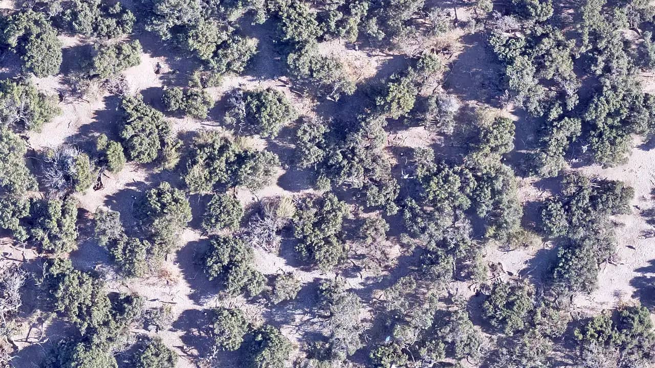
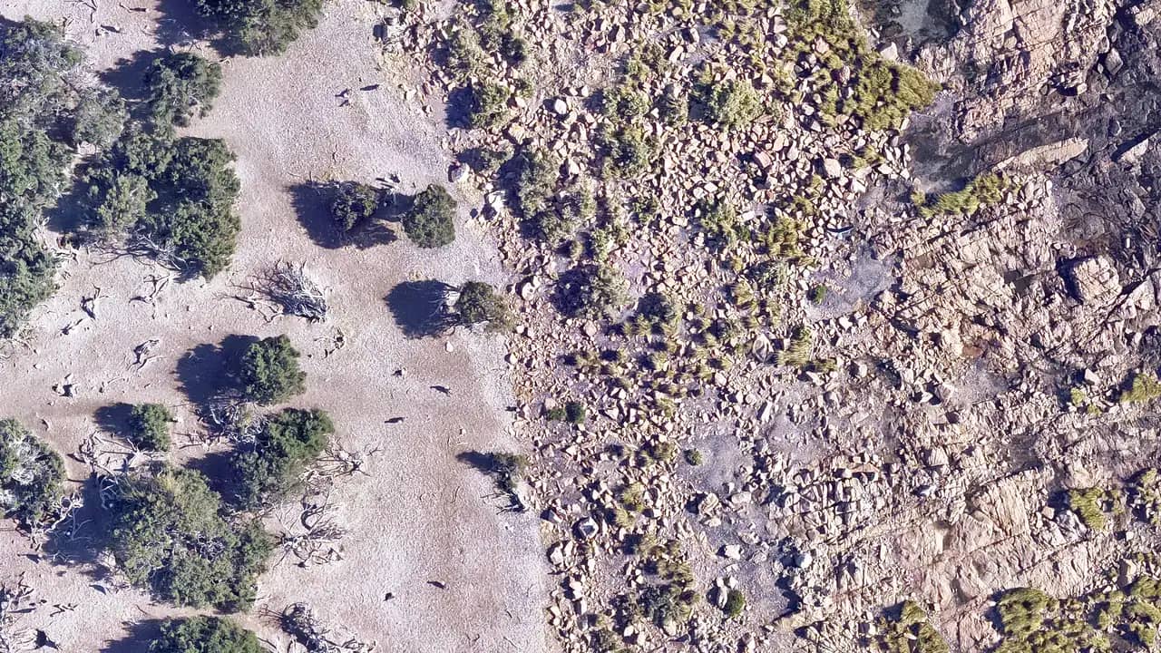
Isle of Birds · Chubut · Nov 8 2025
Six steps so your flight processes well
A common protocol lets us compare surveys across the network. It is not bureaucracy: it is what makes data overlap meaningfully.
- 01
Plan the grid
Define the polygon to survey, altitude 50 meters, speed 5 to 7 meters per second.
- 02
Configure the camera
JPG or RAW, automatic shutter, 70% frontal and 70% lateral overlap.
- 03
Fly the grid
Parallel lines at constant speed. Check battery and memory before takeoff.
- 04
Review the images
Confirm every photo carries GPS in metadata. Without coordinates, no orthomosaic.
- 05
Upload the full set
Load directly from disk to Clementina. Large files supported without splitting.
- 06
Wait for validation
A team member reviews before processing. We let you know by email.
Minimum technical glossary
If you are a pilot, you already know them. If you come from biology or conservation, this is the shortcut.
For pilots about to upload their first campaign
What the network asked in recent weeks.
Drones compatible with the protocol
Any drone that records GPS per photo and supports grid planning works. These are the most common across the network.
DJI consumer line
DJI enterprise line
Other brands
With RTK or PPK
You do not need RTK to begin. Any drone with standard GPS will do for your first campaign.